
GeoKeeper Streamlines Data Collection for Students at Yukon University
Over the past few months, Kwusen has worked with instructors and students at Yukon University to deliver the GeoKeeper app for their Environmental Monitoring Certificate Program. In this blog post, we share more about this partnership with Scott Keesey, the Lead Instructor for the program, and how GeoKeeper has been used as a course tool to support learning directly in the field.
GeoKeeper as a course tool
The Environmental Monitoring Certificate Program at Yukon University is a 2 year program that equips students with technical skills and knowledge to conduct environmental monitoring work. This program provides students with an understanding of the biophysical environment, introduces First Nation traditional knowledge, and teaches technical skills such as environmental sampling techniques and navigation and data collection with GPS.
Kwusen’s Digital Team worked with Scott Keesey, the Lead Instructor for the program, to develop a custom GeoKeeper program free of charge. This program bears five different forms that have since replaced several pen-and-paper forms the students would otherwise use in the course. Students now have access to a trip form, that they can use to record their tracks, and several survey records, that they can use to document hazards, hydrology measurements, site inspections, and surface water quality.
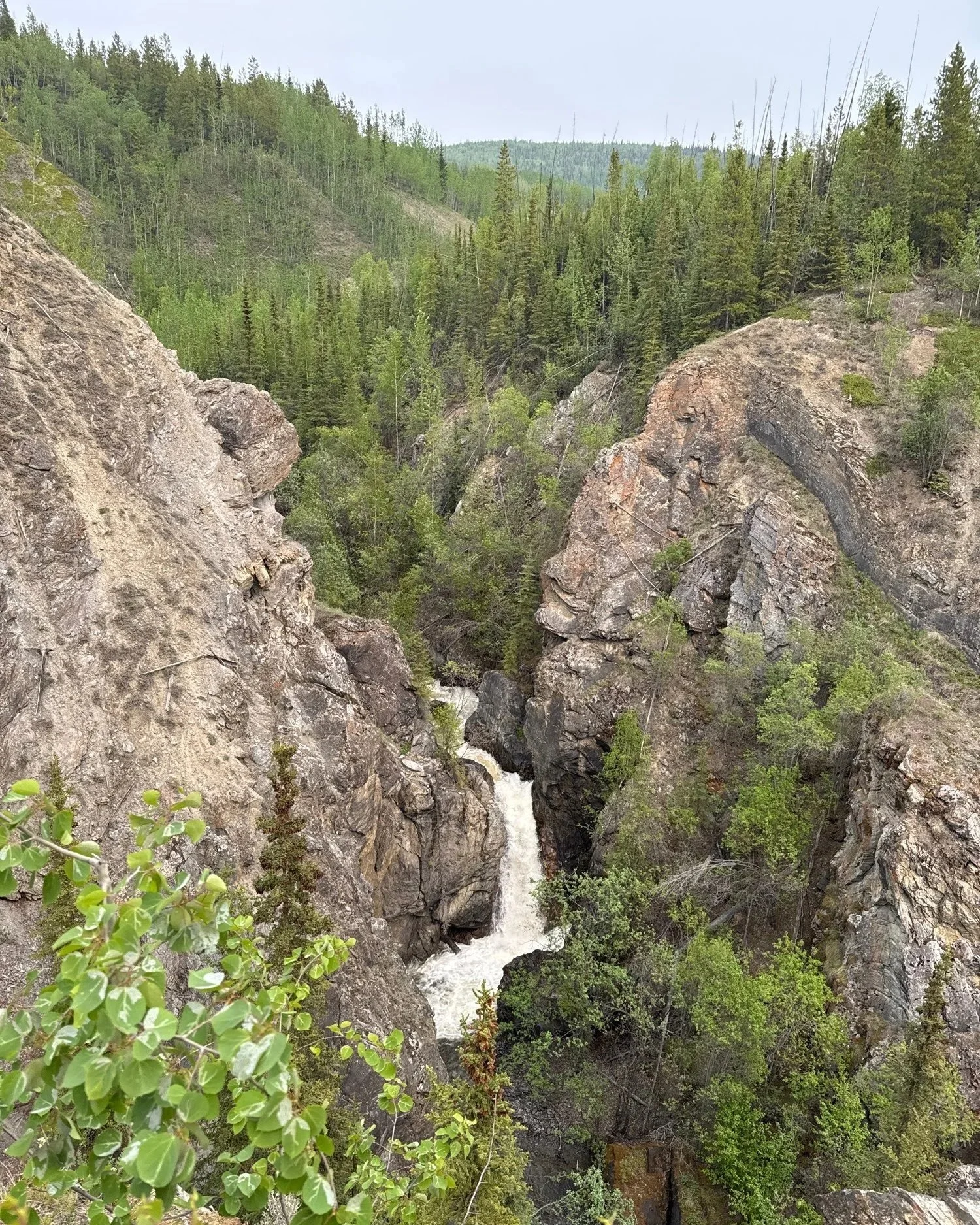
A photo of Van Gorder Falls in the Yukon, taken by a student in the Environmental Monitoring Certificate Program.
In addition to streamlining field data collection for students, GeoKeeper has expedited course assessments for instructors. Instead of collecting hard copies of field data records from students, instructors can now view all the data their students have collected directly on the server. Course assessment is thus far more efficient as instructors have all the course material and student submissions in one place. Here’s what Scott Keesey, the Lead Instructor for the program, has to say about GeoKeeper in his course.
“Our training in Environmental Monitoring is committed to preparing students for real world employment opportunities by embracing up-to-date protocols, tools, and technologies. As environmental data collection and management transitions from paper to digital applications in the workplace, Yukon University is thrilled with this partnership with Kwusen to keep our students current and as prepared as possible for meaningful work. The GeoKeeper App and Kwusen are just the right fit for our on-the-land training and First Nations students.”
A number of First Nations across Canada already use GeoKeeper and other digital tools to collect field data. In adopting GeoKeeper as a course tool, students not only have all they need to collect field data in the palm of their hand, they are also in the driver’s seat of their own learning, and better prepared to work as field monitors and guardians for their own communities.
For readers who may not be familiar with GeoKeeper, we invite you to learn more about this digital tool by visiting the GeoKeeper page on our website. In a nutshell, GeoKeeper is an app that supports Indigenous communities conducting Community Based Monitoring programs by providing for offline and remote data collection on hand-held devices.
We look forward to continuing to support Yukon University’s Environmental Monitoring Certificate Program, and expanding the scope of our digital tools to support users in educational contexts.